I’ll Take Menhaden!

Okay, maybe Rosemary Clooney never sang “I’ll Take Menhaden,” but this fish is lately turning our city into islands of joy.

Reports are coming in from the Newtown Creek, Hudson River, and upper East River that menhaden, locally known as pogy and most often bunker fish, are appearing in huge numbers. The video above was posted by Riverkeeper, the most active nongovernmental estuary environmental litigator in our estuary. That’s great news for whales and other sea mammals, as well as bluefish, striped bass, herons, egrets, and other larger fish predators. You’ll see huge swaths of water dance and glint when bunkers breach to escape predators below. Before they’re ever visible, they ride currents into our estuary as eggs and hatch here, to grow from larvae into adult fish.

Bunkers do more than directly sustain these other cherished species as food. For their ability to clean water, these silvery schoolers can be seen as mobile oysters. As “Four Fish” author Paul Greenberg notes, “An adult menhaden can rid four to six gallons of water of algae in a minute.” Much like huge baleen whales, little bunkers are filter feeders. When their numbers plummet, brown algal tides overtake bays, creating dead zones.

Before European colonization, Native Americans ate these fish and used them as fertilizer because their oiliness is both delectable (fishers say you’ll never have to butter a bunker) and a powerful nutrient. Indeed, the words menhaden and pogy derive from Algonquin terms referencing the fertilizing practice.

Sadly, bunker fish haven’t had a good century. they died in masses in the 1980s when bluefish herded them into hypoxic shallows in the the Long Island Sound. They’ve been overfished for 32 of the past 54 years, according to the Atlantic States Marine Fisheries Commission. Commercial operators spot schools by airplane, deploy refrigerated ships to the area, and catch bunkers with nets and, because they school so densely, vacuums. A single fish oil and fish meal company, Omega Protein, is responsible for 90% of the nation’s catch. It’s not active in the NYC region.

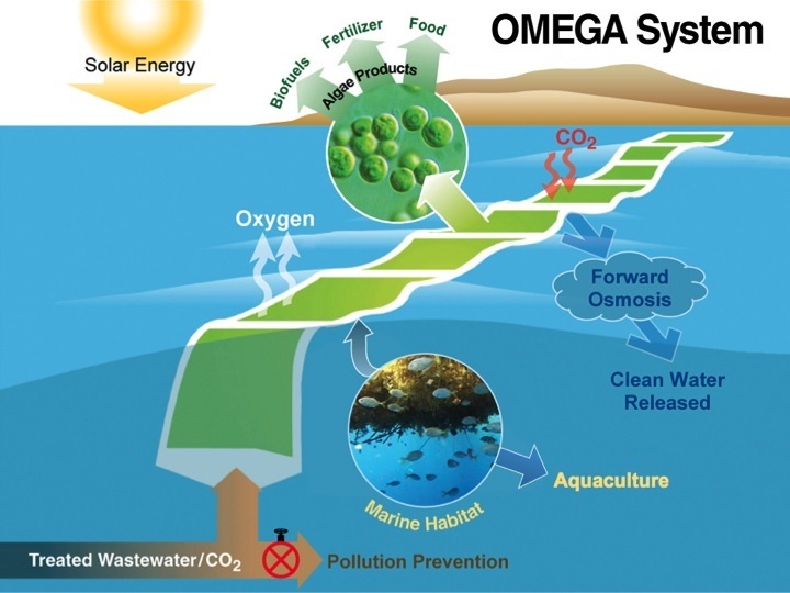
Interestingly, what could spare the bunker is what it eats: algae. Companies are starting to farm algae in vats to produce omega-3 fatty acids and other goods for nutritional supplements and livestock feeds. The controlled setting also prevents mercury contamination and other potential pollutants from entering human food systems.

Solstices and the Solar Analemma

Infinity is the bane of navigators — you’re nowhere when there’s no beginning or end to time and space. Yet in one of Nature’s better jests, an infinity symbol ( \infty  ) tells us about our movement through time and space. Click the Thom Matheson video below to see the sun’s position, its declination, in 26 noons over the course of a year.  It loops through the New Jersey sky from the bottom Winter Solstice to the top Summer Solstice and back again. This revelation of the our celestial course is called the solar analemma.

One might expect our annual view of the sun to trace a simple circle, but Earth’s orbit is elliptical and tilted on its axis. Those two factors combined result in this figure published by Ethan Siegel of ScienceBlogs. Orientation of the figure 8 depends on one’s location on the globe.

Or in a real-world example is from the Greenwich Observatory. Notice that the Winter and Summer biases are removed from the following chart. Instead, neutral “Northern” and “Southern” designations are used, because the seasons are reversed between northern and southern hemispheres.

From the Wikimedia Commons: This is a plot of the position of the sun at 12:00 noon at the Royal Observatory, Greenwich (latitude 51.4791° north, longitude 0°) during 2006. The horizontal axis is the azimuth angle in degrees (180° is facing south). The vertical axis is the altitude in degrees above the horizon. The first day of each month is shown in black, and the solstices and equinoxes are shown in green. It can be seen that the equinoxes occur at an altitude of \begin{smallmatrix}\phi\end{smallmatrix} = 90° ∼ 51.4791° = 38.5209°, and the solstices occur at \begin{smallmatrix}\phi\end{smallmatrix} ± ε where ε is the axial tilt of the Earth, 23.439°. This plot was constructed using altitude and azimuth data generated by JPL Horizons. This data is listed below. The analemma is plotted with width highly exaggerated, which permits noticing that it is very slightly asymmetrical (due to the two-week misalignment of the apsides of the Earth’s orbit and its solstices).

How is this useful to navigation? HarborLAB will request an article called “Resurrecting the Analemma,” published by the Institute of Navigation for greater details. The article notes that fewer and fewer maps and globes have included the analemma in recent years as GPS has overtaken traditional low-tech navigation. According to the abstract:

“It provides the user with values of declination and equation of time for every day of the year. In the first half of the twentieth century, it was a standard feature on any globe or map of the world. In recent years, however, the analemma has all but disappeared. This paper resurrects the analemma. The construction and use of the analemma is explained and some modern source materials are provided. Using the analemma in conjunction with other low-tech methods, a complete scheme for navigating by the sun is outlined. The analemma is a figure eight shaped graphic representation of the Earth’s annual path around the sun. It provides the user with values of declination and equation of time for every day of the year. In the first half of the twentieth century, it was a standard feature on any globe or map of the world.”

Old globes commonly included the analemma as a navigational aid. Some cartographers still include them. Detail of an analemma, on a globe by Gilman Joslin, Boston, 1890, in the collection of the Library of Congress. (By Lawrence W. Jackson Jr./Washington Post)

As for the relationship between the infinity symbol and the analemma, it seems to be coincidental. Some consider it a pictograph based on the mobius strip, but its origins have been traced to the ancient Greek final letter of the alphabet, Omega (ω), or the Roman symbol for 1,000 ( CIƆ or CƆ ).

Join the OMEGA Exploratory Paddle!

Image courtesy of NASA.

Image courtesy of NASA.

Come paddle into the future! (We’ll stop for ice cream along the way).

HarborLAB will be receiving seed funds this month (announcement coming) to work with students to build a small, prototype photobioreactor on the Newtown Creek Superfund site modeled on the NASA’s project called OMEGA — Offshore Membrane Enclosures for Growing Algae. HarborLAB’s vision is to work with students to grow clean, green fuel in membranes floating on a waterway polluted by the largest U.S. urban oil spill. Algae chosen for biofuel potential would harness sunlight on the open surface expanse and derive nutrients from treated water from the Newtown Creek sewage plant. How poetic is that?
A
HarborLAB hopes to undertake OMEGA Newtown Creek as a project that will enrich the educational experiences of students at LaGuardia Community College and other area schools. As OMEGA Newtown Creek grows, we’ll welcome other nonprofit partnerships. One of our sponsors, Arup, is leading Hunters Point South park and infrastructure development at the Newtown Creek mouth and in Germany built an algae-powered building.
A
HarborLAB sponsor Arup building in Germany with a photobioreactor skin.

HarborLAB sponsor Arup building in Germany with a photobioreactor skin.

On August 25th, we’ll be installation site scouting and generally exploring the creek, which tells uniquely instructive ecological tales. We’ll soon name our canoes for local and renowned environmental heroes — we hope Bernie Ente, Jenni Jenkins, and Rachel Carson would get a kick out of the NASA OMEGA Project.
A
To participate in this paddle, please be at least 18 years old.  Email tours@harborlab.org with the subject line “OMEGA Paddle.” If possible, please email with your signed waiver form (http://harborlab.org/waivers/) attached. You can also visit our Facebook event page. BONUS: We’ll stop by Brooklyn Ice Cream Factory on the Greenpoint side before heading back.
A
OMEGA might be especially suitable for the sheltered waters of Newtown Creek, away from destructive wave action. We’re in touch with NASA’s OMEGA project lead scientist Jonathon Trent, Ph.D. to learn as much as we can. We’re a long way from implementation (classroom and lab work, further funds, permits, curricular integration, etc.), but it starts Sunday, August 25 with a canoe paddle to assess possible installation sites.
A
A
060517_algae_hmed_8a_grid-6x2